Common Mistakes When Visiting Wessex Battle Sites
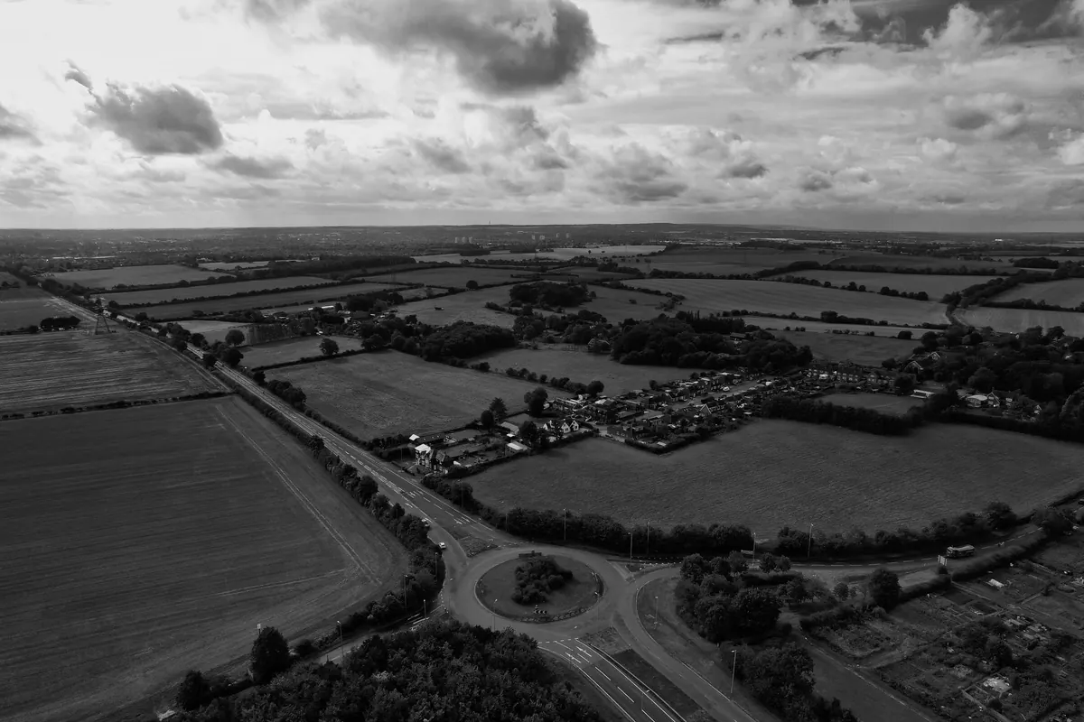
Stand on the ridge above Ashbury on a clear afternoon and the case for the place makes itself: high ground, a gap in the downs, old tracks converging. It is also the kind of view that has convinced generations of visitors they are standing on Alfred's battlefield at Ashdown. They might be. The fighting of 871 may equally have happened a dozen miles east, near Moulsford. Both sites have serious defenders, and neither has produced evidence that settles the question.
That uncertainty is not a problem to be solved so much as a habit to be learned. Wessex's battle sites reward visitors who arrive with questions rather than convictions.
The name on the gate proves less than you think
English place names drift, and battle names drift with them. Edington in Wiltshire has a fine church, a village green and a Victorian monument; Edington in Somerset, on the edge of the Poldens, has a quieter claim to the campaign of 878. The name Ethandun survives in several spellings across manuscripts written long after the event, and mapping those spellings onto modern villages is educated guesswork, not surveying.
Then there is the deeper confusion between different kinds of site. A burh is not a battlefield. The defended towns of Alfred's network — Wareham, Wallingford, Cricklade and the rest — were garrisoned strongpoints, places where armies might gather or be besieged, but raising a rampart is not the same as fighting a battle. Wansdyke and Offa's Dyke mark boundaries, not the line of a clash. Nor should you assume a modern county boundary tells you anything useful: Wessex was a shifting kingdom, not a line on a map, and its border with Mercia moved with the fortunes of kings.
A quick test
Before you accept a site, ask three questions: who first proposed it, on what evidence, and when? If the answer is "a nineteenth-century antiquarian with a good eye and no excavation", treat it as a hypothesis worth visiting, not a fact worth repeating.
You are probably looking at the wrong landscape
The biggest trap is assuming the ground beneath your boots is the ground the armies stood on. It usually is not. The Somerset Levels around Athelney were marsh and open water when Alfred withdrew there; drainage, rhynes and enclosure changed the whole texture of the place. Rivers move, meander and get embanked. Hedgerows, straight enclosure fields, conifer plantations, reservoirs, bypasses and caravan parks have all arrived since.
What survives, if you look, are older continuities:
- Ridges and scarp edges that armies used for movement and observation.
- Spring lines and fords — water dictated routes long before tarmac did.
- Roman roads and the old herepaths, many still walkable as footpaths and bridleways.
- Church towers and older settlement cores, which often sit on the same slight rises as their predecessors.
- Parish boundaries, which can fossilise much earlier divisions of land.
Stand where an army would have needed to stand: at the crossing, on the shoulder of the hill, at the point where a track leaves the valley floor. Ask what could be seen from there. Viewsheds mattered more than boundaries when the only intelligence came from a lookout on a ridge.
Legends are enjoyable, not evidential
Alfred's Tower on Kingsettle Hill is a handsome piece of eighteenth-century architecture marking the spot where the king was said to have mustered before Edington. It is a memorial, not a find. Victorian church plaques, "King Alfred's" wells, cakes and stones, and village traditions repeated in guidebooks all belong to the same category: later memory doing its work. Enjoy them — they are part of the afterlife of these places — but do not let them do the job of evidence.
The chronicle is a story, not a survey
The Anglo-Saxon Chronicle was compiled at court, sometimes decades after the events it describes, with an interest in showing Alfred and his line in the best light. Asser's Life of King Alfred has its own purposes. Numbers in medieval annals are frequently round, symbolic or copied from elsewhere. The "Great Heathen Army" was not a single touring club with a fixture list: armies formed, split, took tribute, settled, and merged with local populations.
Read the sources — translated editions are easy to find, and the notes matter as much as the text — then read them as arguments rather than coordinates. A sentence such as "the king fought at X" tells you that a battle was remembered, and where a later writer placed it. It rarely tells you where to park.
What the ground can and cannot give up
Battlefields are poor archaeological sites. Fighting is brief, the field is picked over, and the plough has worked on it for centuries. What turns up is usually small: a scatter of fittings, coins, arrowheads, occasionally a burial. If you are metal detecting, remember that in England, Wales and Scotland it is a criminal offence to use a detector on a scheduled monument without consent. Check the schedule with the relevant historic environment service, get the landowner's permission, and report finds through the Portable Antiquities Scheme. If you are unsure where you stand legally, ask the local historic environment record or the national heritage body for your part of Britain before you travel.
On foot, look at the ground but leave it alone. Earthworks are fragile, and a bank flattened by boots does not come back.
Habits worth copying
- Read the primary source and a reputable modern account before you travel.
- Check whether the site is scheduled, registered, or simply traditional.
- Take a paper Ordnance Survey map as well as a phone. Contours explain more than captions.
- Visit two competing sites for the same battle and compare the views.
- Ask the local archaeology or history society — they often know the find spots.
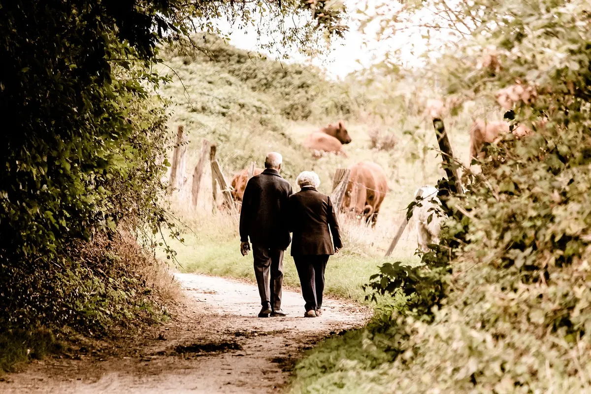
- Keep to public rights of way, close gates, and give livestock plenty of room.
Before you set off
Plan for sites with no car park, no interpretation board and no café. Wear boots that cope with chalk and clay, carry water, and tell someone your route. If you are visiting a scheduled monument, check access and any restrictions first, and never assume a footpath crosses private land simply because it looks convenient. The best visits end with a shorter list of certainties than you started with, and a much better set of questions.
Photo: Altaf Shah / Pexels