Top Wessex Heritage Trails Compared: Ridgeway, Clarendon, and Kennet
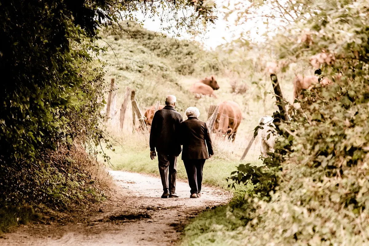
The old kingdom of Wessex left Britain an unusual concentration of long walks. Three stand out for anyone who wants history underfoot rather than behind glass: the Ridgeway, the Clarendon Way, and the routes that follow the River Kennet and its canal. They are very different creatures. One is a National Trail of eighty-seven miles across empty chalk downland. One links two cathedrals in a weekend. The third moves at the pace of a narrowboat, past locks, water meadows and a Neolithic skyline. Here is how they compare on length, effort, and the history you actually walk through.
The Ridgeway: eighty-seven miles of chalk and sky
The Ridgeway runs from Overton Hill, near Avebury, to Ivinghoe Beacon in the Chilterns, and people have been using it for a very long time. It is a National Trail, so you follow acorn waymarks the whole way.
Terrain is the story here. Bare chalk ridge, sheep-cropped turf, beech hangers on the slopes, and long views with remarkably little in them. The going is not brutal, but it is relentless — short sharp climbs in and out of the Goring Gap at the eastern end, steady rolling gradients over the Marlborough Downs at the western end. Villages sit below the ridge rather than on it, which means a full day's walk might offer no shop, no tap and no shelter.
The history is extraordinary and mostly free. Avebury's stone circles, Silbury Hill, West Kennet Long Barrow, Wayland's Smithy, the Uffington White Horse, and hillforts at Liddington and Segsbury are all on or beside the path. Walk it west to east and the densest monuments come first, while the eastern half is quieter, woodier and gentler underfoot. Water is the practical problem: carry more than you think you need, and refill whenever a village appears.
The Clarendon Way: two cathedrals in a weekend
Twenty-four miles separate Winchester Cathedral from Salisbury Cathedral, and the Clarendon Way takes you between them across Hampshire and Wiltshire farmland. Most people split it over two days, stopping around Stockbridge or King's Somborne. Fit walkers manage it in one long summer day, though they will not see much of what they are passing.
The route's namesake is Clarendon Park, once a royal hunting ground where Norman and Plantagenet kings kept court. Henry II's court met here, and the Constitutions of Clarendon date from 1164. What survives above ground is modest: low masonry, banks, ditches and the shape of a deer park, which is exactly why it feels like a discovery rather than a monument. Elsewhere the path crosses the Test valley, passes the curious pyramid monument at Farley Mount, and gives you a choice of decent pubs within a short detour of the trail.
This is the best of the three for a first long-distance walk. Transport at both ends is easy, the countryside is varied without being punishing, and the finish — walking into Salisbury with the cathedral spire ahead of you — is hard to beat.
The Kennet: locks, water meadows and a chalk stream
The River Kennet rises at Swallowhead Spring near Silbury Hill and runs east through Marlborough, Hungerford and Newbury towards Reading. Alongside and sometimes on top of it runs the Kennet and Avon Canal, roughly eighty-seven miles from Reading to Bath, built to link the Thames with the Avon and fully open by 1810.
Unlike the Ridgeway, this is not one single designated trail. What you get instead is a pick-and-mix of towpath, riverside path and valley lanes, which is either liberating or maddening depending on your temperament. The towpath itself is level, well surfaced and shared with cyclists on National Cycle Network Route 4, so expect to step aside now and then. Locks, wharves and brick bridges provide the industrial archaeology; Caen Hill's flight of twenty-nine locks at Devizes is the set piece.
Head upstream instead and the heritage changes character entirely. Around Avebury and West Kennet you are walking through the same Neolithic landscape the Ridgeway crosses, with the added pleasure of a river beneath it.
Side by side
- Length: Ridgeway, 87 miles. Clarendon Way, 24 miles. Kennet: anything from a two-hour towpath stroll to the full 87 miles of canal between Reading and Bath.
- Terrain: rolling, exposed chalk downland on the Ridgeway; mixed farmland, woodland and river valley on the Clarendon; almost entirely flat beside the Kennet.
- Waymarking: excellent on the Ridgeway, good on the Clarendon Way, patchy on the upper Kennet where you will want a map.
- Historic highlights: Neolithic and Bronze Age monuments on the Ridgeway; a medieval royal palace on the Clarendon; canal engineering and chalk-stream villages on the Kennet.
- Logistics: the Clarendon is easiest, with rail stations at both ends; the Ridgeway needs careful planning around food, water and accommodation; the Kennet is the simplest to break into short days.
- Best for: a week of solitude and prehistory; a sociable weekend; or gentle, low-mileage days with plenty of stopping points.
Choosing between them
If you have a week and want the big empty views, take the Ridgeway. If you have a weekend and want a proper sense of arrival, take the Clarendon Way. If you are walking with children, recovering from injury, or simply prefer your history within reach of a tearoom, the Kennet is the one to book.
There is also no rule against combining them. The Ridgeway's western end and the upper Kennet share the same landscape around Avebury, and a day linking the two on foot makes a good introduction before committing to anything longer.
Practical notes before you set out
- Check for temporary closures and diversions. National Trail sections are occasionally rerouted for land management or military use, and canal towpaths close for lock repairs.
- Carry the relevant Ordnance Survey map even where waymarking is good. Footpaths shift, and a paper map works when a phone does not.
- Wear boots with decent grip on chalk. Wet downland is slick, and polished towpath stone is worse than it looks.
- Plan water and food on the Ridgeway. On the Clarendon and Kennet, villages are close enough that you rarely need more than a litre.
- Watch for livestock, especially cattle with calves, and keep dogs under close control around sheep. Close gates behind you.
- Tell someone your route and expected finish time. Mobile coverage is thin in the dips along the downland ridges.
- If you have heart, lung or joint problems, or you are returning to walking after a long break, speak to a GP before committing to a multi-day route.
Start with a single stage of whichever route appeals. Walk it in the shoulder seasons, when the paths are quieter and the light is better, and you will learn more about Wessex in a day than a week of driving ever manages.
Photo: PICNIC-Foto / Pixabay